Impact of sediment supply on growing plants in coastal marshes
MIT researchers examine role of marsh vegetation to maximize wetland restoration
Coastal wetlands play a significant role in our environment by reducing flooding associated with storm surge and waves, providing wildlife habitat and storing large amounts of carbon. Yet, rising sea-levels and coastal development have degraded coastal marshes. For example, over the past century, Louisiana has lost around 5,000 square kilometers of coastal marsh. A major restoration scheme is planned, which will divert water and sediment from the Mississippi River to stimulate natural marsh-building processes. Because the diversions can have a negative impact on navigation in the channel, it is important to align the diversions with conditions that optimize sediment retention within the marsh.
A new study from MIT researchers in the Department of Civil and Environmental Engineering and colleagues published in Nature Communications, describes how sediment retention within a marsh varies with vegetation density (plants per bed area) over a growing season.
As vegetation density increases, velocity declines, which reduces the supply of sediment to the marsh platform, but also reduces resuspension, which enhances the retention of sediment within the marsh. The competing trends of sediment supply and retention produce a nonlinear relationship between sediment accretion and vegetation density, such that an intermediate density yields the maximum accretion within the marsh. This information can guide the timing of river diversions to maximize the marsh-building potential of each diversion, while minimizing impacts on navigation.
Summary of “Competing effects of vegetation density on sedimentation in deltaic marshes” in Nature Communications
Yuan Xu, Chris Esposito, Maricel Beltrán Burgos, Heidi Nepf
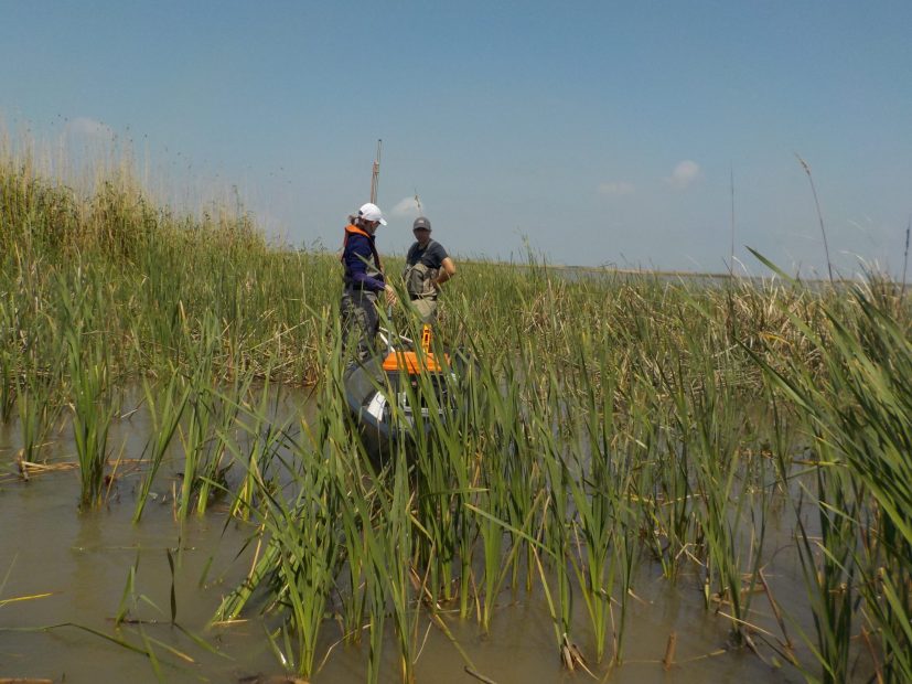
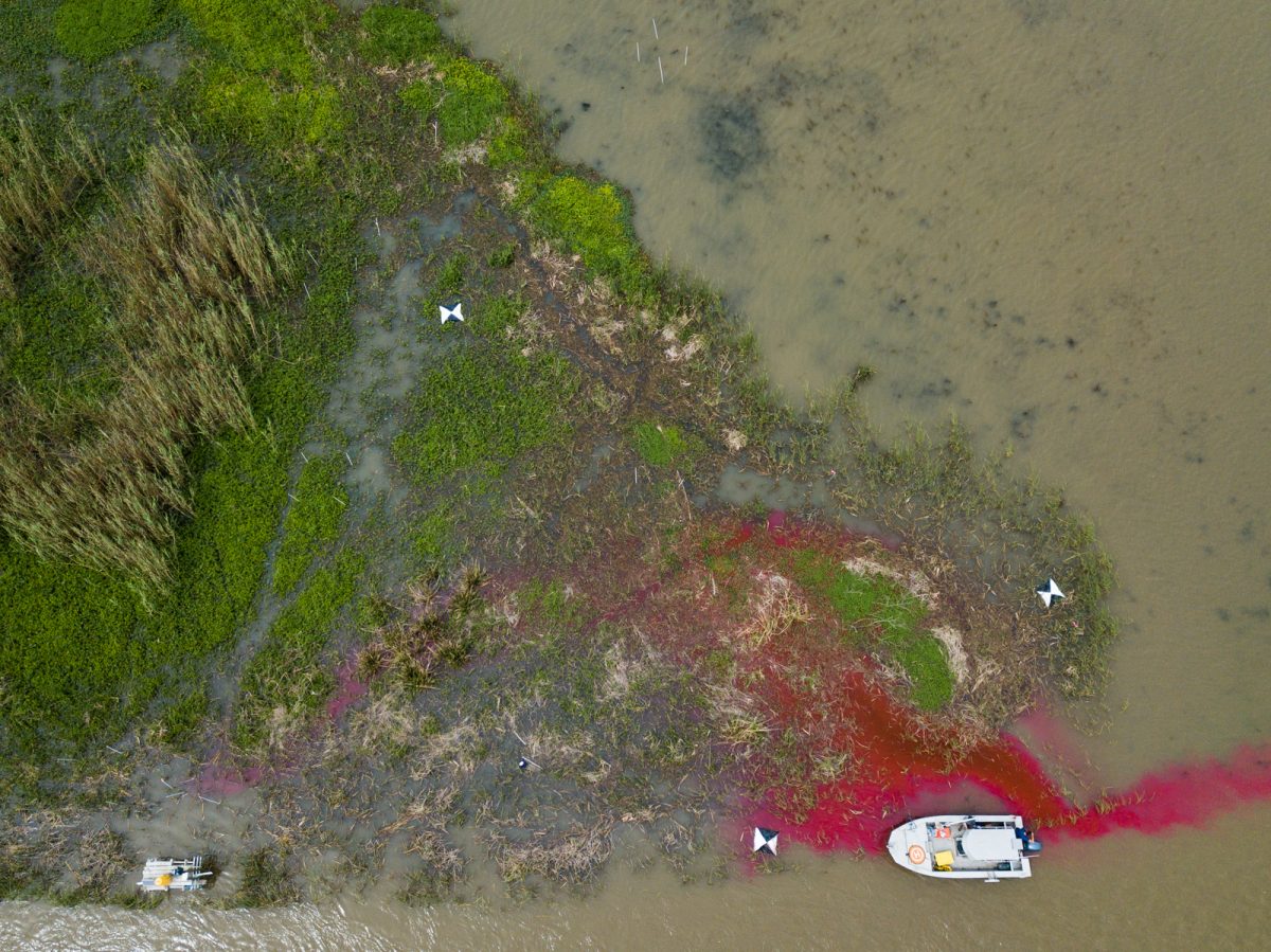
platform near Cubit’s Gap, Mississippi River Delta
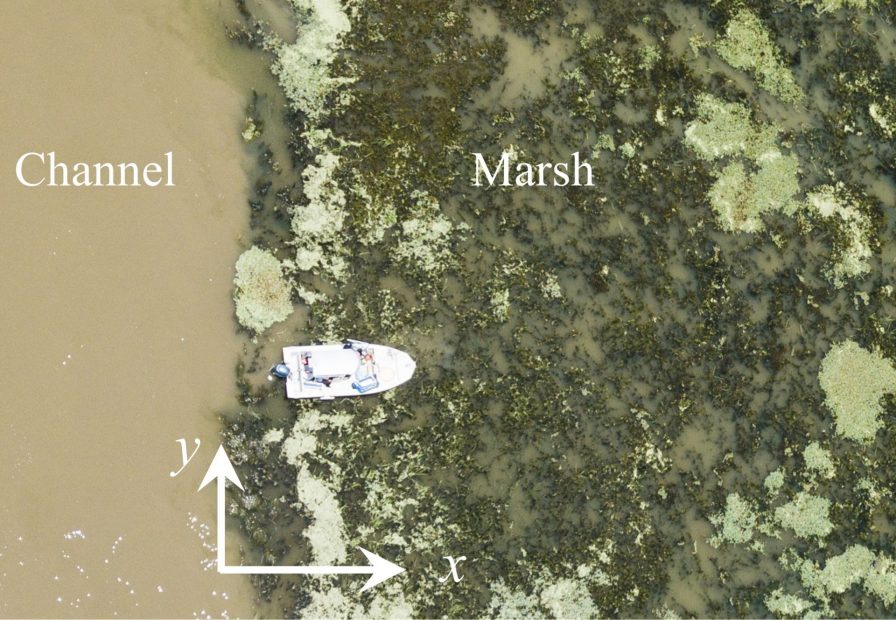

providing estimates of velocity on the marsh platform [Credit. Esposito, Water Institute of the Gulf]