TREX 2018 Day 5: Talk to me, Goose!
By Meghan Reisenauer ‘19

Cornfields outside of Hilo
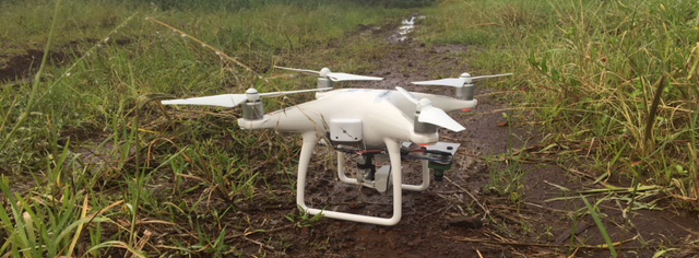
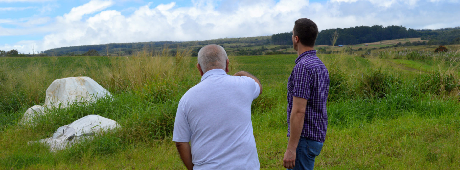
Sunday was spent at a local farm outside of Hilo, belonging to a very nice man named Richard Ha. Richard told us about his work with the community and his efforts to provide employment to local workers. After he left us, we took a walk around his corn fields to get a lay of the land, then took our drone out to gather some pictures of the crops. After a vote last night, the drone is now officially named Iceman! We did get some bad news recently about the 3D-printed drone that was made in our lab back at MIT: on its first flight, the Boston air was so cold that the plastic cracked, and unfortunately the ‘homemade’ drone is no more. In keeping with our Top Gun theme, we’ve decided it will be known as Goose in memoriam (oops, spoilers!).

Richard showing Professor Kocar his land
The drone got some great data about the near-infrared and red light reflecting off the corn in various parts of the fields. It rained on us most of the time we were there, so we all had quite a bit of reddish mud on our shoes, socks, and legs after the day. We also learned the different methods of soil sampling from Professor Kocar today, meaning most of our hands were caked in the soft mud, too. Back at KMC, we rinsed off and relaxed a bit before dinner. But we couldn’t rest too long – we have been collecting data for days, and it needed analysis to determine any trends we could see.

Ju zip-tied some plastic bags to her feet to keep them dry!
We split up into groups to tackle our various projects – Chang and I focused on stitching together the drone vegetation photos and data, while others worked with the air quality data that our sensors have collected so far. David attached our extra infrared camera (salvaged from Goose, may he rest in peace) to Iceman. Uploading and processing Iceman’s photography took quite some time, but Chang and I were able to map out a plan for effective soil and water sampling tomorrow.
Many studies use the Normalized Difference Vegetation Index (or NDVI) to determine the health and density of the crop, in this case corn, in each area the drone flies over. The more near-infrared light a plant reflects, the better the chance that it’s growing well, because it is absorbing a greater percentage of red (visible) light. Thus, an NDVI closer to 1 signifies efficient and healthy growth, while an NDVI close to 0 is rock, soil, or unhealthy vegetation. Below is an informative image from a presentation we had while still on campus.

High and low NDVI examples
We use Iceman’s images to determine the NDVI across the entire fields. Areas like the road, trees, or less-fertilized borders stand out on the stitched maps. Most of the values our software calculated came to 0.40-0.60 for the cornfields, with some areas as low as 0.25. This could be pooled water, bare patches, low-nutrient soil, or any number of factors leading to less-healthy plant growth in these areas of the fields.

The northern cornfield’s NDVI map
We’ll be back at the Ha farm tomorrow (Monday) morning to take more soil and water samples, as well as make a few more Iceman flights to compare the differences 24 hours might make.
Every year, a group of MIT students and professors travel to the Big Island of Hawaii to gain fieldwork experience through TREX (Traveling Research Environmental EXperiences). The first TREX trip was held in 2000, and since launching has taken students on research activities in domestic and international settings. For more undergraduate opportunities, click here.